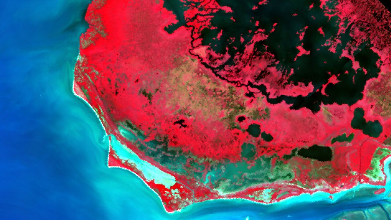
AS ITS NAME implies, the Earth Surface Mineral Dust Source Investigation (EMIT) exists to analyse terrestrial(陆地的;地球的) dust—and to do so from the International Space Station. It does this by recording the wavelengths of light that dust absorbs and reflects, measurements that are important for modelling how Earth’s temperature changes over time. Unexpectedly, though, as a paper in Biological Invasions by Susan Meerdink at the University of Iowa has now shown, EMIT may bring a second environmental benefit: an ability to track invasive plant species.(然而,出人意料的是,正如艾奥瓦大学Susan Meerdink在《生物入侵》期刊上发表的一篇论文所示,EMIT可能带来第二项环境效益:追踪入侵植物物种的能力。)
顾名思义,地球表面矿物尘埃源调查(EMIT)的存在就是为了分析陆地尘埃——而且是在国际空间站上完成这项工作。它通过记录尘埃吸收和反射的光波长来实现这一目标,这些测量数据对于模拟地球温度随时间的变化至关重要。然而,出人意料的是,正如艾奥瓦大学Susan Meerdink在《生物入侵》期刊上发表的一篇论文所示,EMIT可能带来第二项环境效益:追踪入侵植物物种的能力。
Such tracking has real value. Invasive plants compete with native crops, infest(侵扰;大批滋生) livestock pastures, clog(堵塞;阻塞) waterways and destroy native ecosystems. In America alone their spread cost over $190bn between 1960 and 2020. But spotting them is not as easy as might be supposed(正如人们可能以为的那样).
这种追踪具有真正的价值。入侵植物会与本地作物竞争,侵扰牲畜牧场,堵塞水道,破坏本地生态系统。仅在美国,1960年至2020年间它们的扩散就造成了超过1900亿美元的损失。但发现它们并不像人们想象的那么容易。
Until recently the best way to find invasive plants was to go into the field and look for them. That changed with the invention of hyperspectral(高光谱的) imaging. This does not record colours in the way that ordinary cameras do. Instead, it records how surfaces both absorb and reflect different wavelength(波长)s of incoming light. The result is a visual fingerprint that permits surfaces that appear identical in colour to the eye—such as the leaves of different plant species—to be distinguished from afar.(由此产生的是一份视觉指纹,使得肉眼看来颜色相同的表面——比如不同植物物种的叶片——能够从远处被区分开来。)
直到最近,寻找入侵植物的最佳方法仍是走进田野实地查看。高光谱成像技术的发明改变了这一切。这种技术记录颜色的方式与普通相机不同。它记录的是各种表面如何吸收和反射不同波长的入射光。由此产生的是一份视觉指纹,使得肉眼看来颜色相同的表面——比如不同植物物种的叶片——能够从远处被区分开来。